Precision. Compliance. Confidence.
At 2M General Engineering, we are proud to expand our service offerings with professional land surveying. With a commitment to precision, efficiency, and reliability, our land surveying services are designed to support projects of all sizes, ensuring compliance, accuracy, and project success. Whether you’re planning a new construction, developing infrastructure, or managing public works, our experienced team is here to deliver exceptional results.
Start Your Project Today
Our Land Surveying Services
We provide a comprehensive range of land surveying services tailored to meet your needs, including:
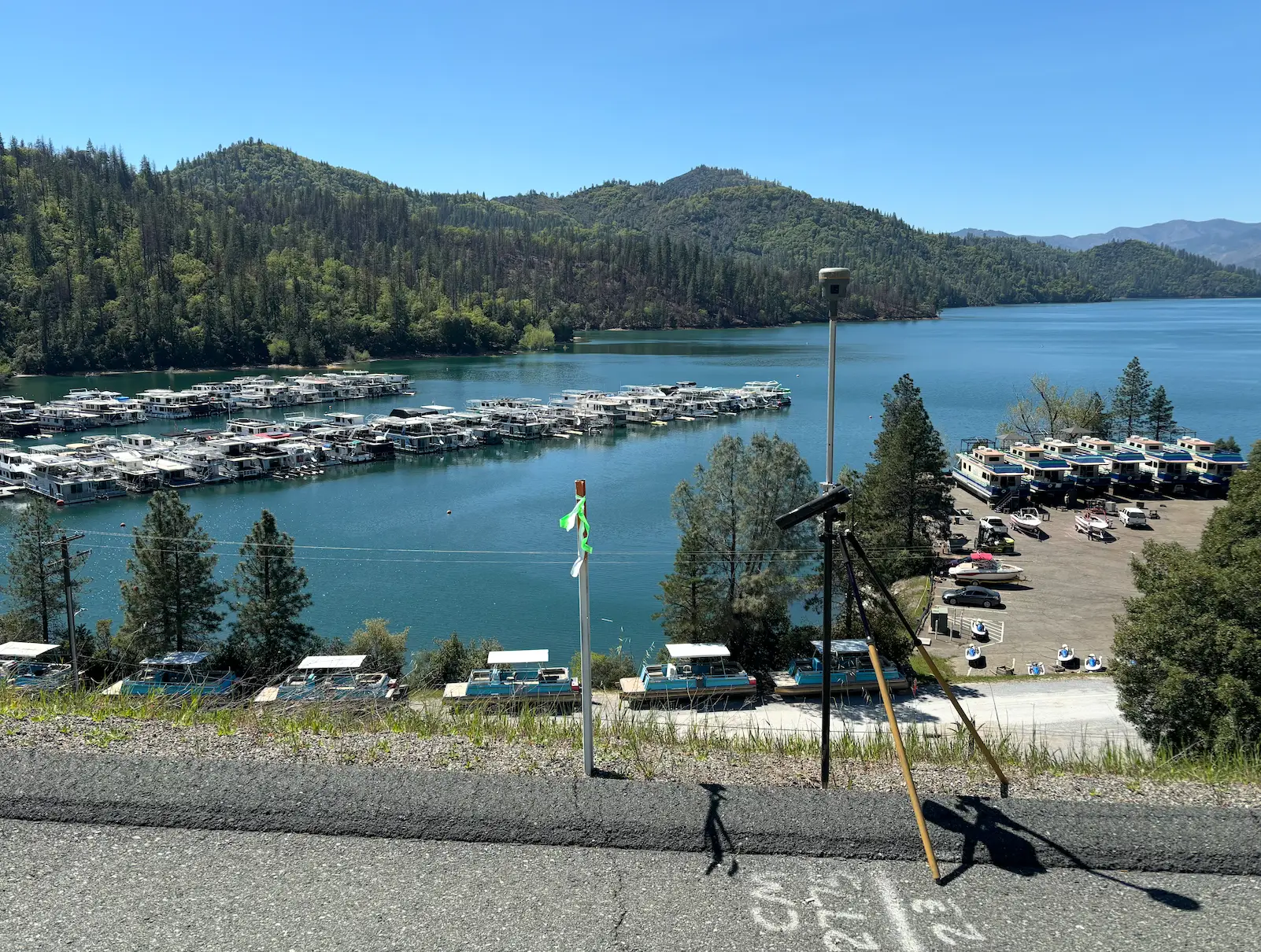
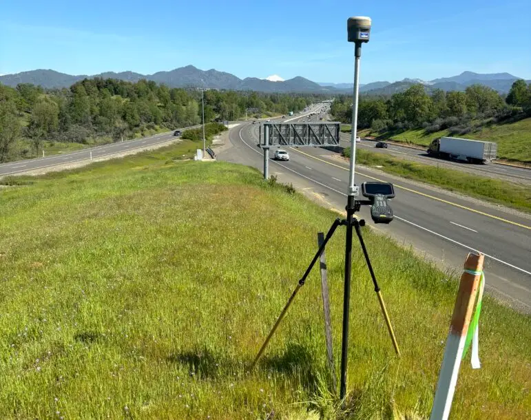
- Topographic Surveys: Capture detailed information about the natural and man-made features of your site to support design and engineering projects.
- As-Built Surveys: Document existing conditions post-construction to verify compliance with design specifications and regulatory requirements.
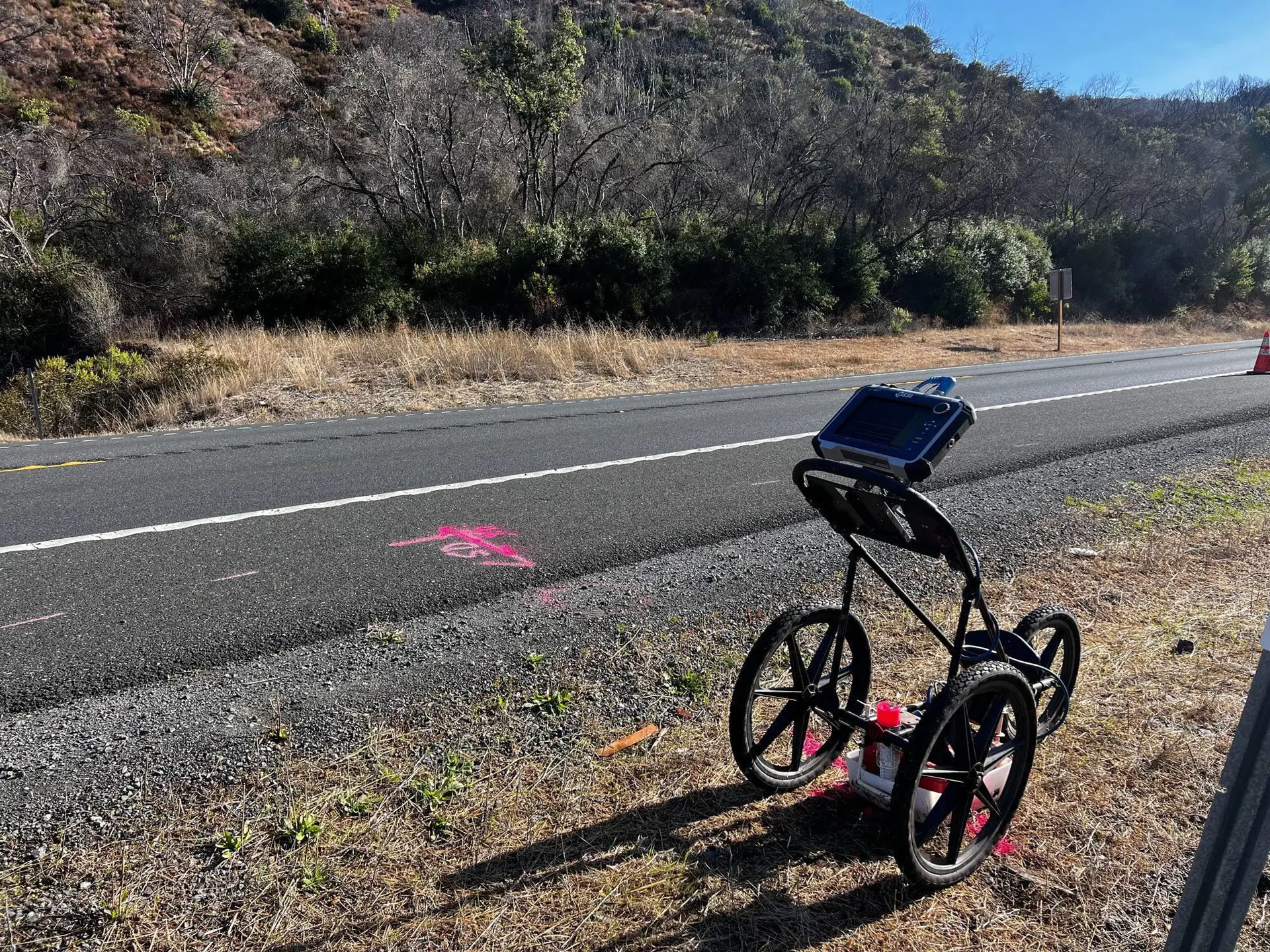
- Utility Surveys: Identify and map underground utilities to reduce risks and ensure safe excavation and construction.
- ASCE 38-22 & 75-22 surveying.
Why Choose 2M General Engineering for Land Surveying?
- Experienced Team: Our surveyors bring extensive expertise and a proven track record in delivering accurate and timely survey results for various projects.
- Integrated Services: As a full-service General Engineering company, we provide seamless coordination between our surveying, utility locating, potholing, trenching, and paving services, saving you time and resources.
- SBE Certified: We are proud to hold Small Business Enterprise (SBE) certification, offering added value for public works projects.
- Client-Centered Approach: We prioritize communication and collaboration, tailoring our services to meet your specific project requirements and timelines.
Industries We Serve
We proudly serve a wide range of industries, including:
- Public Works
- Real Estate Development
- Infrastructure Projects
- Civil Engineering and Design
- Transportation and Road Construction
You’re In Good Company
Trusted by industry leaders, the best of the best keep choosing 2M General (86% repeat business rate)


When you partner with 2M General Engineering for your land surveying needs, you’re choosing a team dedicated to accuracy, quality, and customer satisfaction. Contact us today to discuss your project and discover how our land surveying services can contribute to its success.

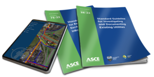 Our work adheres to the latest

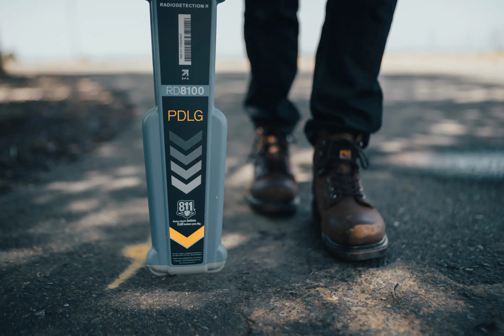
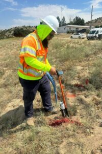


 State-of-the-Art Technology:
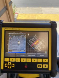 Ground Pen
